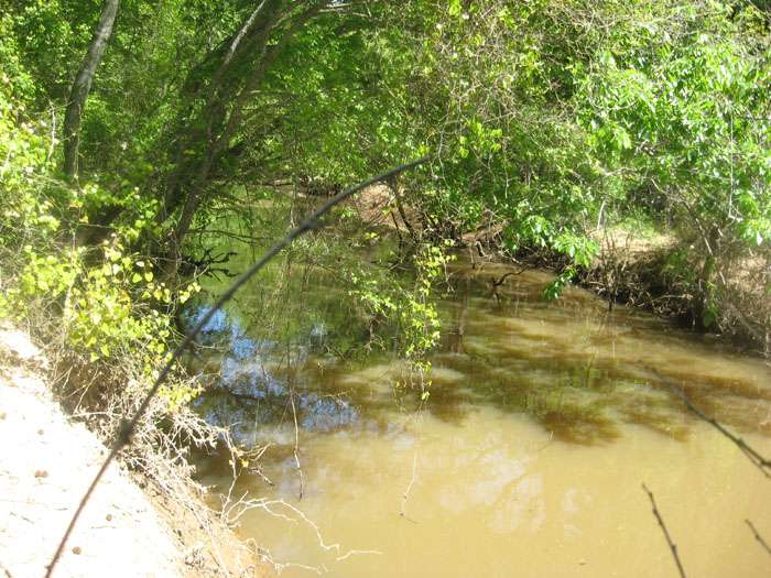
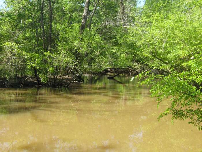
14477 – Mud Creek at US 79
Mud Creek at US 79 - TCEQ ID: 14477
Site Description
Mud Creek at US 79; 9.8 km East Of Jacksonville and 5.9 km West of New Summerfield.
Segment Description
Segment 0611C – Mud Creek (unclassified water body). Mud Creek is a 45-mile length freshwater stream extending from the confluence of the Angelina River east of Rusk in Cherokee County to the upstream perennial portion of the stream west of Troup in Smith County. It is designated for aquatic life, general, and recreational use.
Monitoring Performed Quarterly
|
|
|
Photos
click here to open in a new window