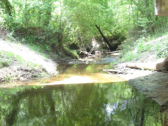
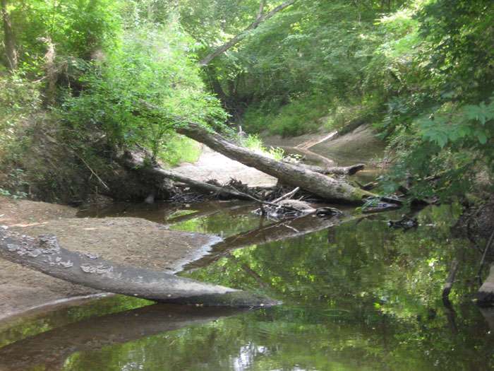
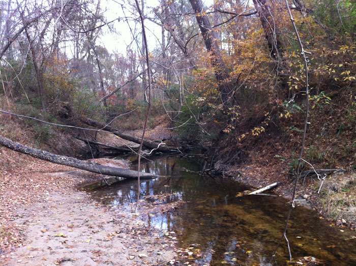
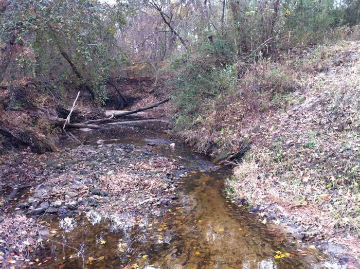
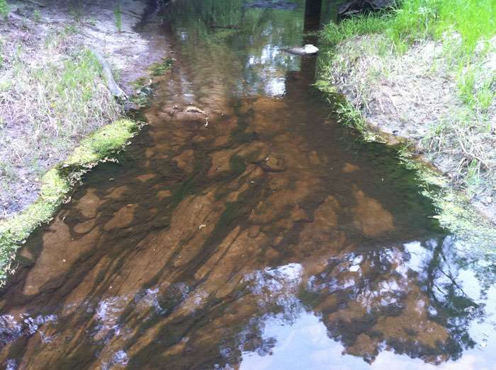
10492 – Jack Creek at FM 2497
Jack Creek at FM 2497 - TCEQ ID: 10492
Site Description
Jack Creek at FM 2497; 5 km Southeast of the intersection of SH 94 and FM 2497; 13.3 km Southwest of Lufkin.
Segment Description
Segment 0604C – Jack Creek (unclassified water body). This freshwater stream extends sixteen miles from the confluence of Cedar Creek southwest of Lufkin in Angelina County to the upstream perennial portion of the stream in northeast Lufkin in Angelina County. This segment is designated for contact recreation, general use, and aquatic life use. Jack Creek was placed on the 303(d) list for impaired bodies of water in the year 2000 for nonsupport of contact recreational use due to elevated bacteria levels. It is currently under a 5c categorization.
Monitoring Performed Quarterly
|
|
|
Photos
click here to open in a new window